Ancient ruins always frustrate me. I like to know everything, so when I see something so mind-boggling that people think aliens helped build it, my brain goes into a frenzy trying to figure out how people figured things out back in the day, especially without technology. That being said, you can probably imagine the amount of times I was at a loss for words, or bombarding my Valencia Travel Cusco tour guide, Nico with questions about all of the ruins and mythical-like landscapes on the Inca Trail.
Oh, by the way, you can only see these incredible sites if you actually hike the Inca Trail like I did, and you can only do it with an accredited tour guide or company. It typically takes four days and three nights to see everything, but there are shorter ones (and a longer one!), and of course you could always just take the tourist train straight to Machu Picchu instead.
Anyway, luckily Nico not only has Inca ancestry, but also studied their history in school, plus has extreme patience for inquisitive little blonde girls, so he did an excellent job at explaining what each site was thought to be. But he also emphasized the "thought" part, and explained how the Spaniards destroyed almost all evidence of the Inca culture and history back in the 1500's, so most of the information we have is based on theories made by specialists.
Although the loss of the actual facts of how and why these incredible places were built is quite sad (not to mention insanely frustrating), the mysteriousness of it makes the Inca Trail that much more special, exciting and intriguing. Trust me when I say you'll be in a constant state of, "How did they do that?!"
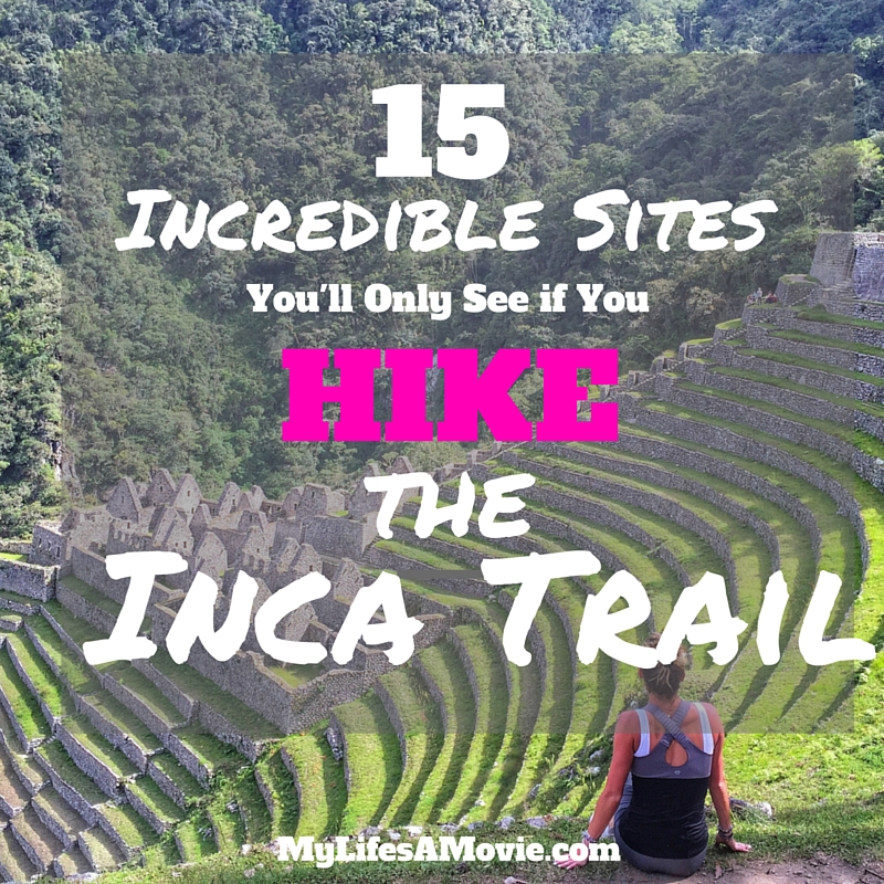
There are many incredible sites to see on the Inca Trail, both man-made and natural, but these are my top fifteen favorites that make me want to quit my job and go do research in the Andes!
(Note: The list is in the order in which you would see each site starting from the beginning of the Inca Trail and ending in Machu Picchu)
1. Llactapata and Willkarakay
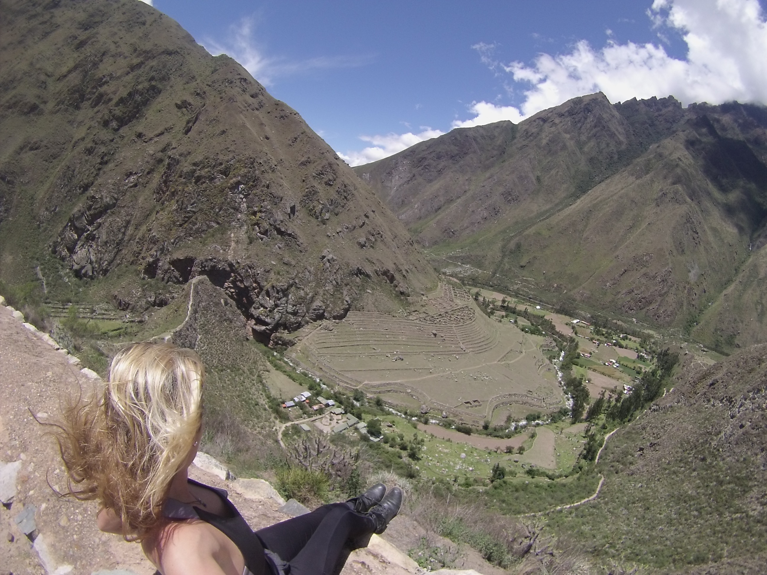
The very first Inca site you'll see on the Inca Trail will be Llactapata (or Patallacta), which you'll look down to see from another site called Willkarakay. You'll probably think Willkarakay is the important Inca site, but it was really just storage houses for food, and an area to overlook the surrounding towns and mountains. Below you'll see Llactapata, which is referred to as the town that's "high", since it's high in the mountains, and theories suggest higher-class people ordered it to be built, or that it was some sort of shrine.
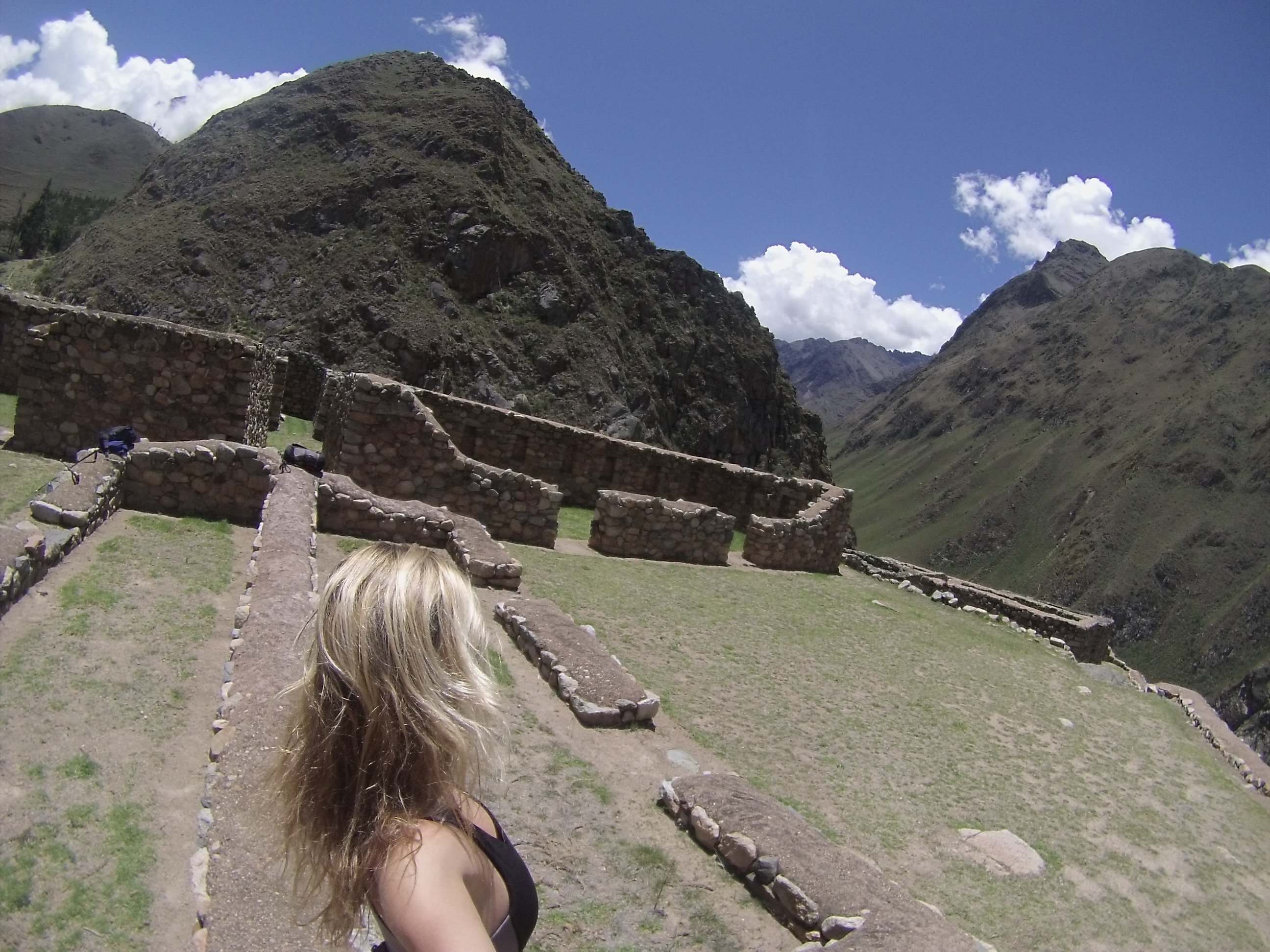
Since this is at the beginning of the Inca Trail at "Kilometer 82", it is also thought that these sites were used as protection against intruders trying to get to Machu Picchu.
2. The Last Inca Town
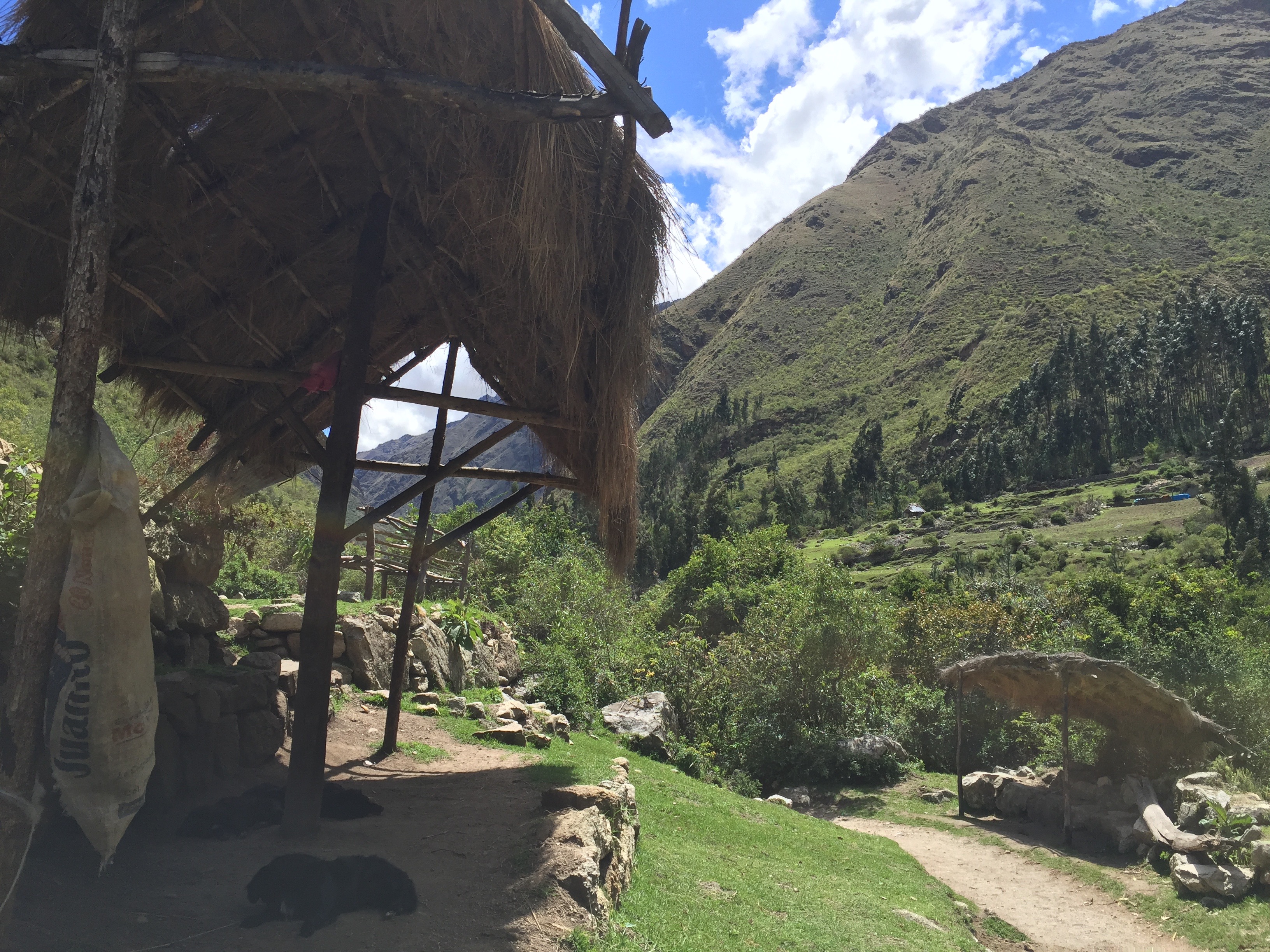
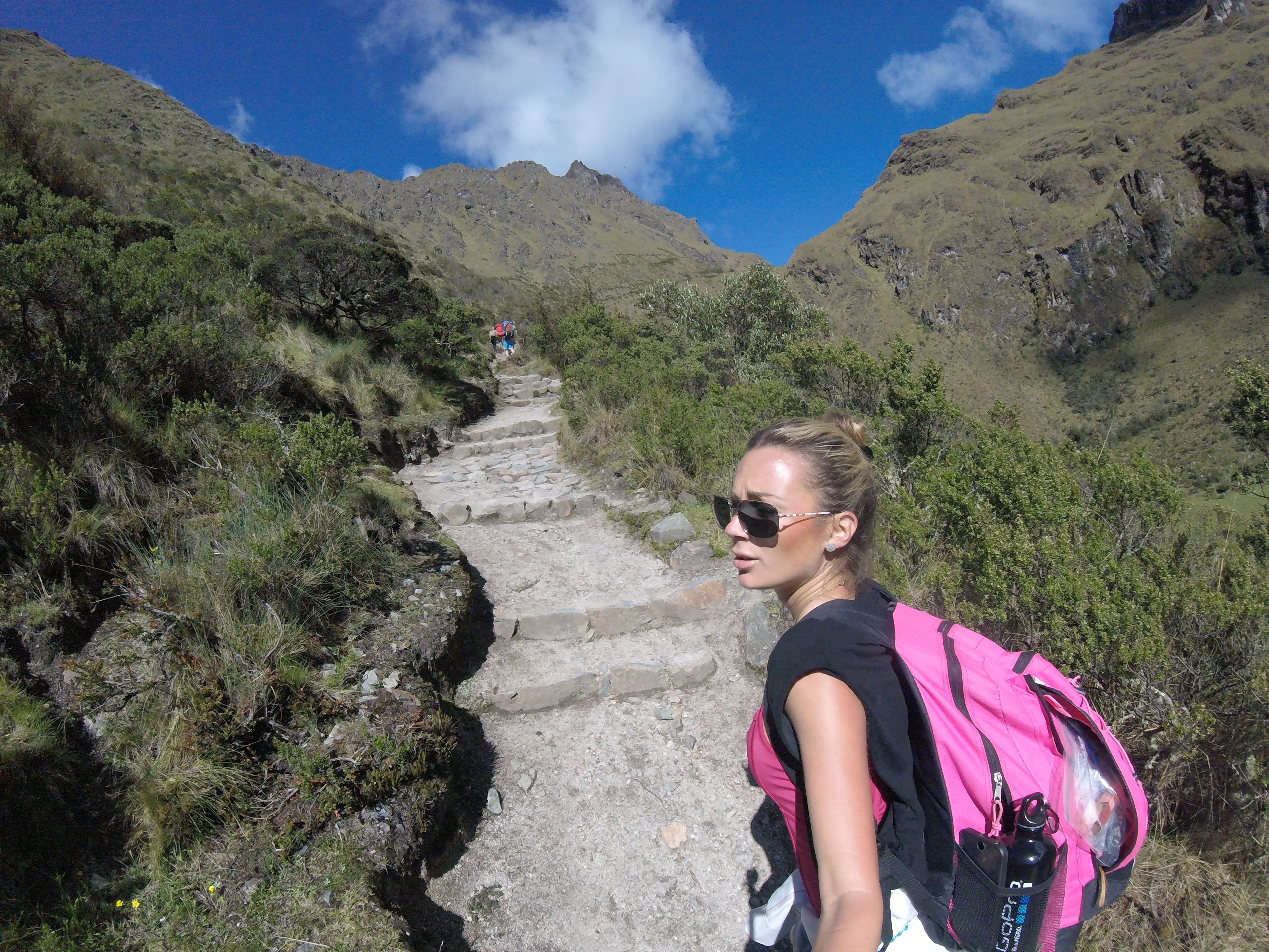
Believe it or not, there are still Incas that live on the Inca Trail. For the first two hours of the hike, you'll see Inca people walking, leading horses, or riding motorbikes in the opposite direction, as they walk into town to buy or trade goods.
They also sell drinks and snacks, which you should buy early on in your hike because they get more expensive the higher you hike up, which makes sense, because that's more work for them! The women wear traditional Inca clothing which is typically a long skirt, long-sleeved blouse, rimmed hat, and a colorful woven wrap-sack that they carry on their backs.
3. Dead Woman's Pass
The worst view of Dead Woman's Pass (also known as Warmi Wañusqa) is from the bottom of the mountain where you can actually make out the shape of a woman's face crying up to the sky. That's because you can see how far you have to hike to get to the top of it. The best view is obviously after the treacherous four hour ascent to over 14,000 feet above sea level, when you're standing at the top of the summit looking down at the beautiful mountains you just climbed.
You want to know why it's called "Dead Woman's Pass"? Well, while I could have very well seen why they'd call it that after I finally got to the top, Nico told me a legend about some shaskies (better known as "porters", but I think shaskies sounds more nice and friendly) who were on their way to deliver food to a tour group over the mountain, seeing a woman laying at the top motionless, then on their way back two hours later, they said they saw her walking around, but when they got to the top, she was laying down motionless again...creepy!
4. Runkuracay
Runkuracay is a small, egg-shaped Inca site that was believed to be a type of watchtower or base to communicate with the neighboring mountains. The view from the front of it is most rewarding because you can see the deathly summit you had to climb over at Dead Woman's Pass, and the trail you had to take to get to it.
It also makes for a great view further up the mountain, where you can also see a small, shallow lake in the shape of a heart, and even a deer if you're lucky!
5. Cloud Forests
At first I thought there was only one official "Cloud Forest", but it's actually a term, and what it really means is that the clouds are sitting at the same level as the forests at the tops of the mountains. It's a really beautiful and magical sight to see the clouds just hovering at eye level, especially if you're above them! At some points in the hike you'll even be walking through the clouds, and you can see how fast they move as well!
You'll also notice how lush and green everything is high up on the mountains; that's partially due to the clouds constantly sitting on the land and providing water and oxygen to the plants.
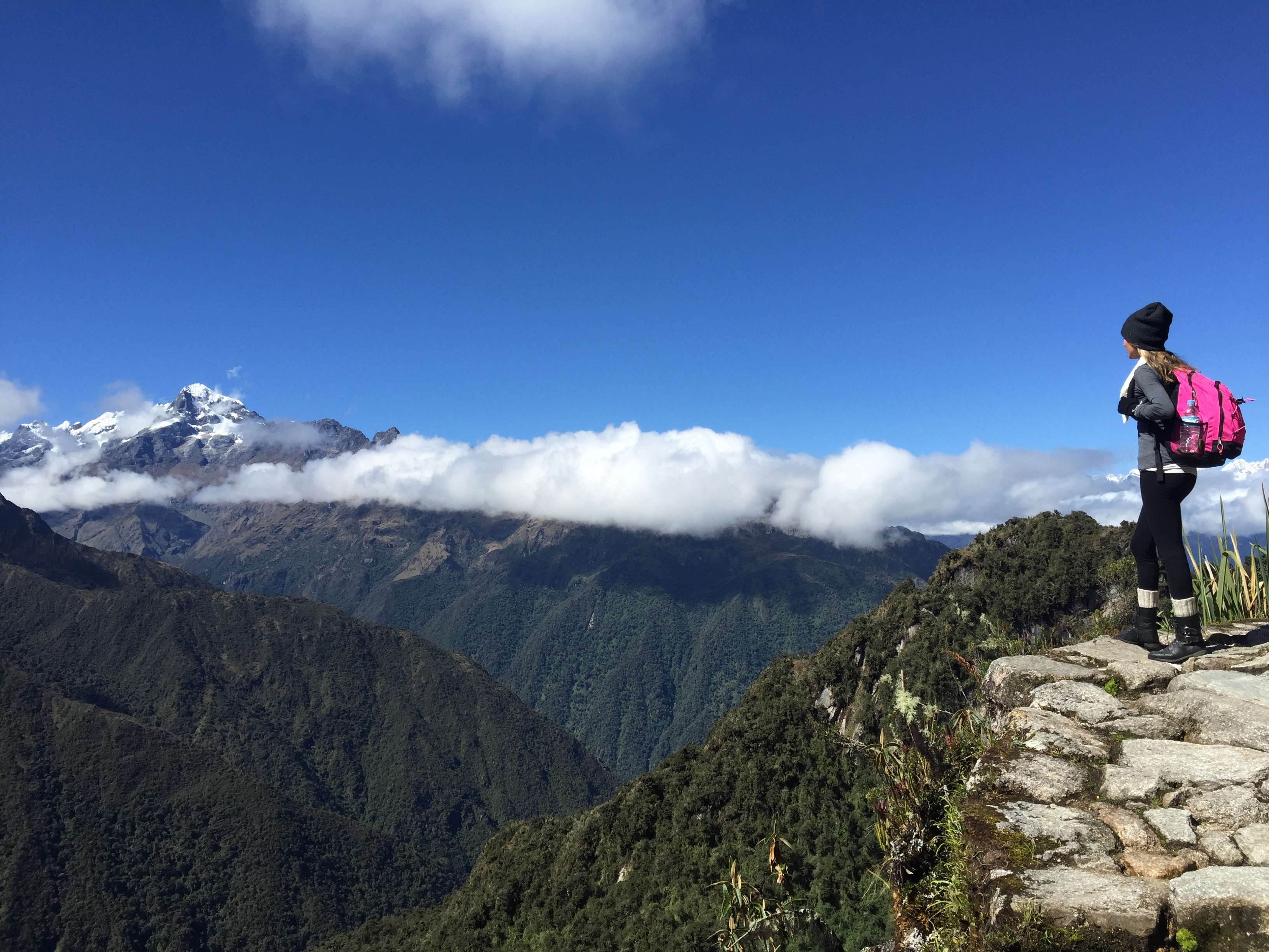
6. Sayaqmarka

Sayaqmarka sits on a ridge about 12,000 feet above sea level, surrounded on three sides by sheer cliffs. The name Sayaqmarka literally translates to 'Inaccessible Town', makes sense, right? The theory of its purpose that Nico told us was that it was built as a military control site in order to keep enemies or unwanted trespassers out of Machu Picchu. It blocks all pathways to Machu Picchu, except the Inca Trail.
Now it's a mysterious stone sanctuary that requires you to climb up 98 very narrow, very steep steps, where you can see the clouds hovering around it, and rolling in an out over the valley below it.
Nico pointed out the areas where the Incas had re-routed the water flow from another mountain in order to get fresh water to the establishment. He also noted that there was a Sun temple in the military base, as well as a bird's eye view of the surrounding areas.
7. Inca Tunnels

On the Inca Trail map you'll see two spots where it says "Inka Tunel." These are natural tunnels that were already in the mountain, that the Incas made wider in order to continue the trail through them. Like most tunnels and caves, they are very dark, damp, and mysterious, not to mention really cool looking and fun to hike through! They are also interesting because it shows how the Incas incorporated the natural stone into their trail, but how they even decided where the trail should go is another mystery that will probably never be discovered. Seriously, I would LOVE to find blueprints.
8. Bird's Eye View of the Andes
Nothing will make you feel more triumphant (or like a bird) than when you reach the top of a summit or a high part of the Inca Trail, and see mountain tops, clouds, and glaciers at eye-level. Not only is the scenery beyond beautiful and breathtaking, but the fact that the Incas were able to construct a trail made from the land and stones that high up in the mountains is just beyond baffling to me.
9. Phuyupatamarka
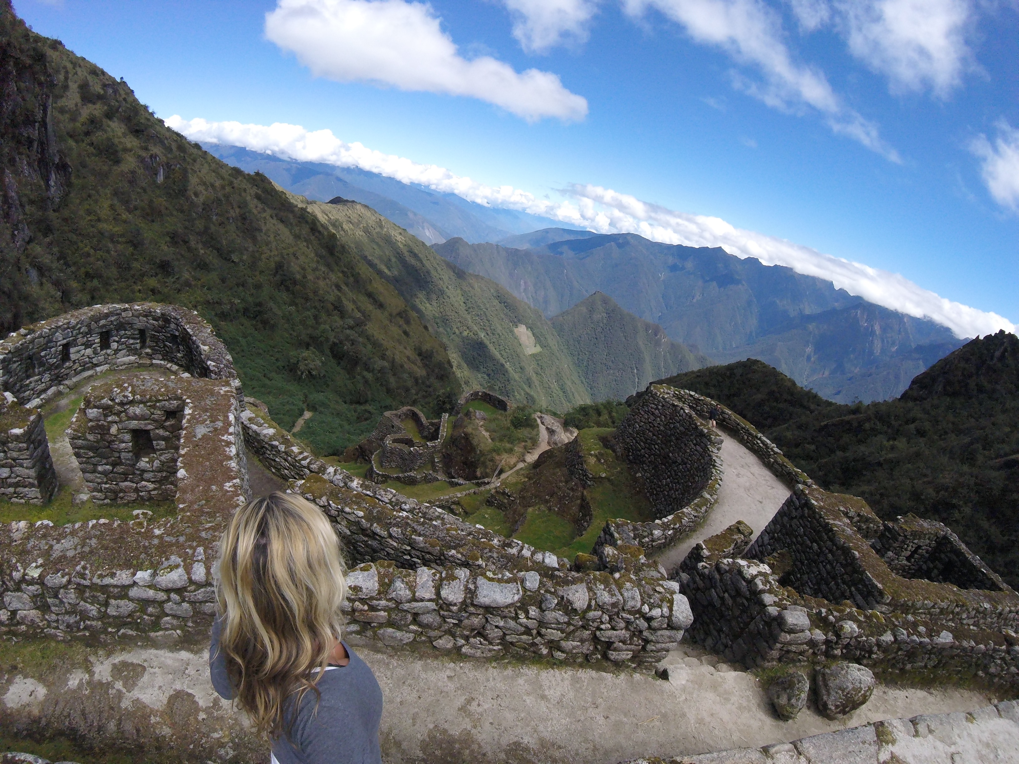
Phuyupatamarka looks like a beautiful ancient fortress with interesting architectural designs unlike most of the other ruins on the Inca Trail. It is known as the "Cloud Level Town" because it's typically covered in clouds (not for me!). Nico showed us some navigational markings on the large circular top platform that suggest this is where astrologers would go to study the stars and the milky way, which apparently they were really good at, but unfortunately have little evidence to show for it.
It is also said that the Incas would drink Ayahuasca, a powerful hallucinogenic, in order to "see" spiritual images in the milky way, like a llama, frog, snake, puma, and person.
10. Original Inca Trail

Parts of the Inca Trail are not original. It makes sense considering the Incas were forced to abandon their homes and flee when the Spaniards took over back in the 1500's. Many parts of the trail were destroyed or run down, but there are still some areas where the trail is 100% original. The best example of the Original Inca Trail is leading from Phuyupatamarka, to Intipata.
It is beyond mind-blowing and interesting to see how perfectly and ingenuously the stones were laid, and how the path winds, ascends, and descends to get to the next destination. Also astonishing is the environment around this pathway; it's filled with lush jungle plants and trees, and towards the end, what seems like an enchanted butterfly garden.
11. Intipata

The first large agricultural Inca site you'll see on the Inca Trail is on the third day at Intipata. The reason why it is so interesting to see is because it's your first up-close look at just how brilliant the Incas were at agriculture, and the many terraces the Inca's would build for farming way up along the mountain side. Since there are hardly any residences aside from a few terrace houses, it is thought that Intipata was used to grow supplemental food for the people of Machu Picchu, and one theory even suggests it was used for food experiments; testing the growth of new seeds with the varying environment levels along the mountain.
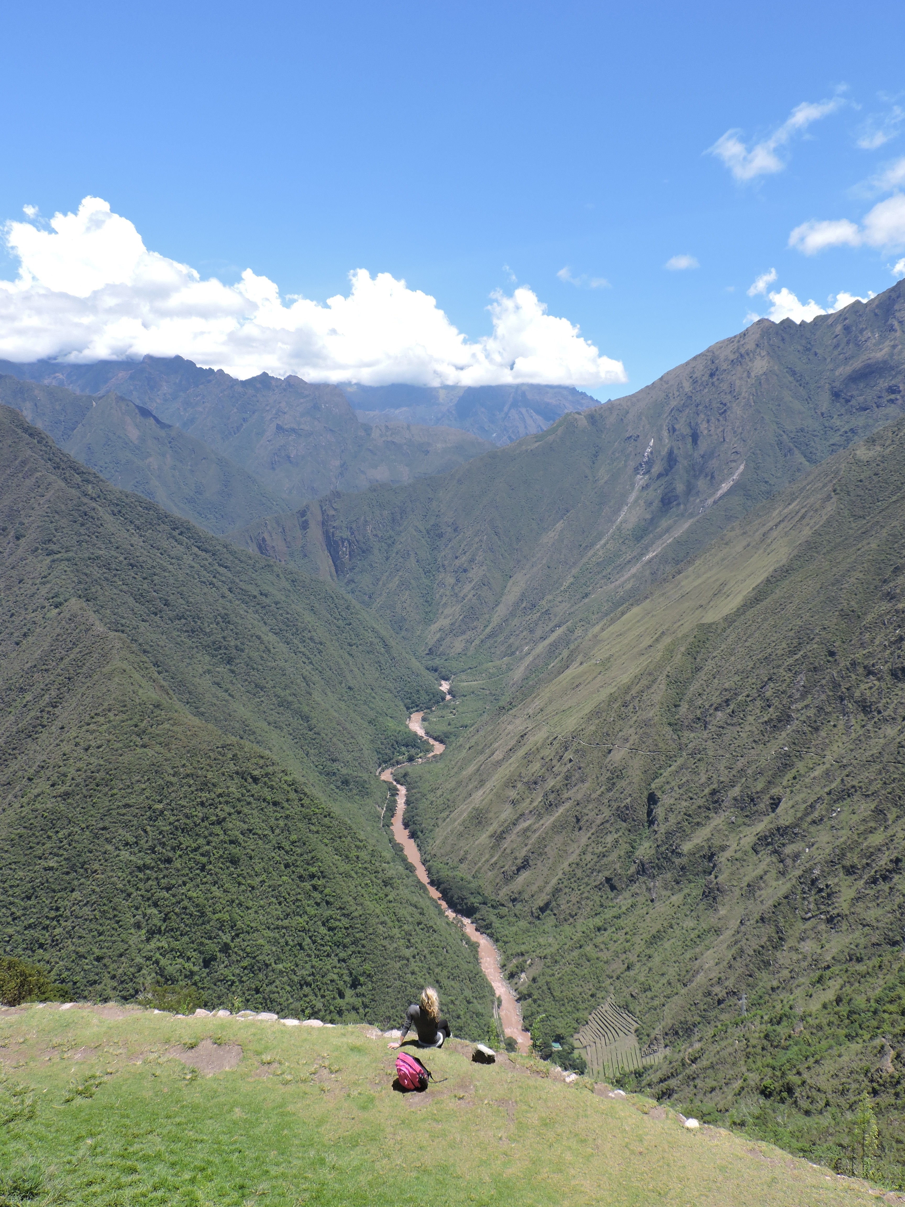
From the top of Intipata is a breathtaking view of the Urubamba river below, Wiña Wayna to the right, and the mountain of Machu Picchu to the left (you can't see the actual Machu Picchu ruins until you climb over the mountain). Due to this position, it is also suggested that Intipata was used to relay messages from Machu Picchu to the Urumbamba River.
12. Wiñay Wayna

Wiñay Wayna is the last massive Inca site on the Inca Trail before Machu Picchu. The rows and rows of terraces were used to harvest crops, and the house-like structures you see in the middle were where about 50 people lived, and also where people traveling to Machu Picchu would stop to rest. A very interesting feature of Wiñay Wayna are these small square stone baths that to this day still trickle fresh water out of a stone spout, which are said to have been used for "cleansing", likely before continuing the sacred journey to Machu Picchu.
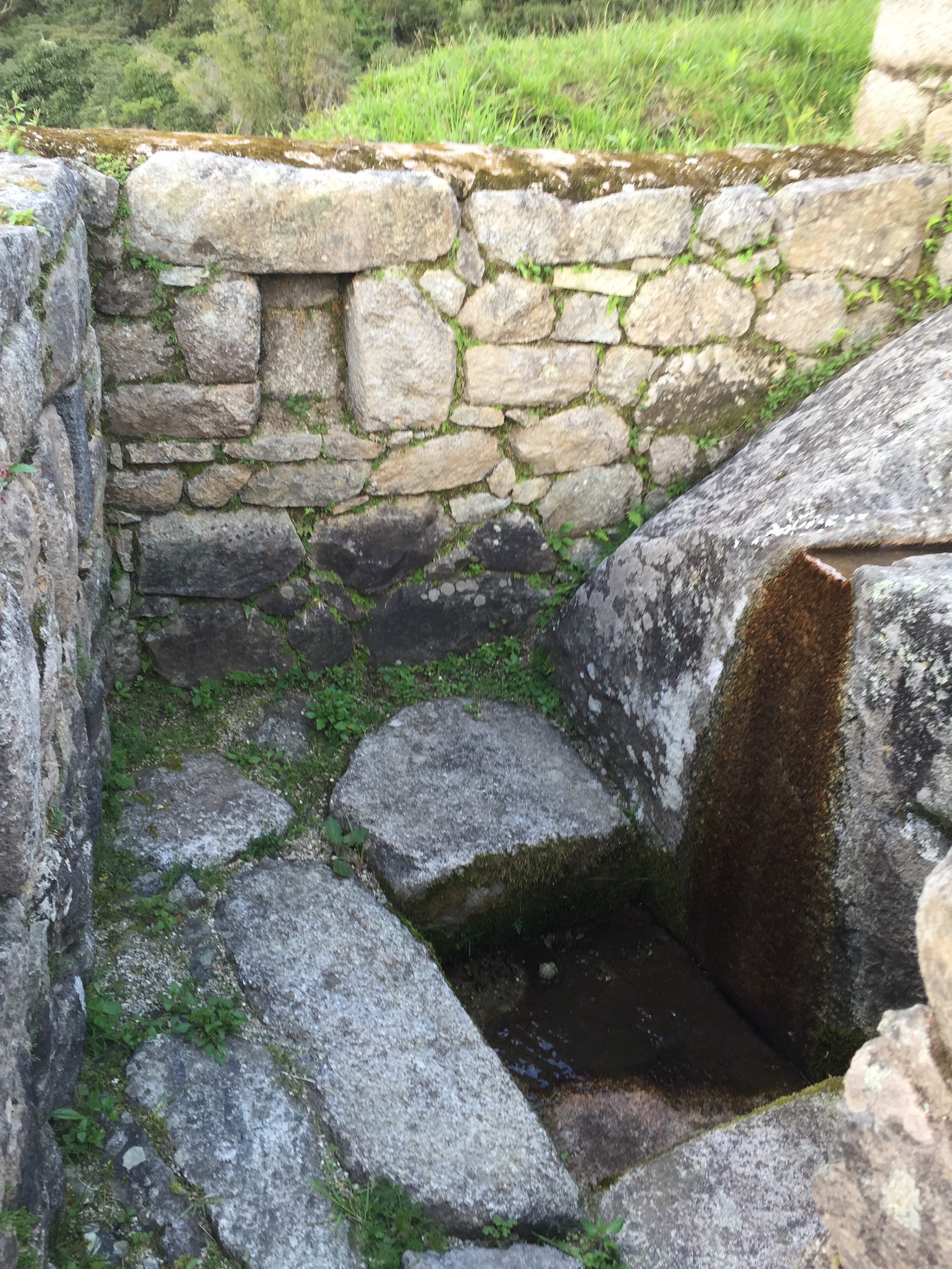
Considering the small amount of homes and large amount of terraces, Wiñay Wayna was also thought to be used to grow additional food for Machu Picchu, but it's association with with water makes it also thought to be a religious center.
Although this area is "cleaned" (kept free of being over-grown with plants), there's still a large area of it to the right that's covered in moss, plants, and trees, that has yet to be excavated or discovered (also insanely frustrating).
13. The Hidden Waterfall
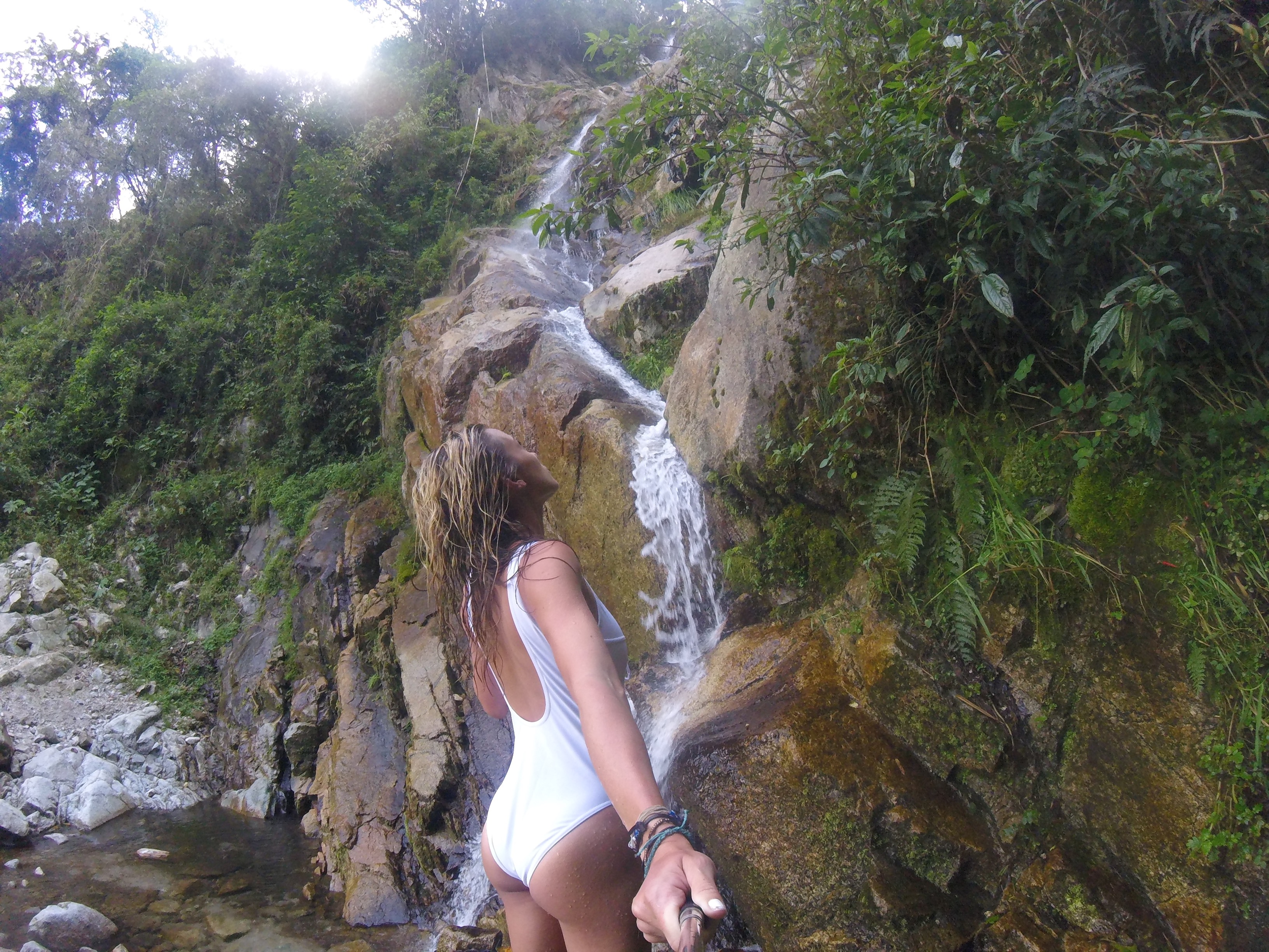
Depending on if your tour guide is as awesome as mine was, you may or may not get to go to the hidden waterfall on the Inca Trail. I won't say exactly where it is, just in case it's a secret, but I'll hint that you get to it by taking a pathway from the bottom of a large Inca site, where there's lots of undiscovered additional ruins along the way. Not obvious at all.
The waterfall is a beautiful oasis in the middle of the mountain jungle, and pours down from the top of a high cliff, along the rocks, and down into a shallow, clear lagoon. The water is beyond freezing, but it's worth getting your hands and feet numb to get closer to the waterfall or even "wash" your hair in it like I did!
14. Sun Gate (Intipunku)
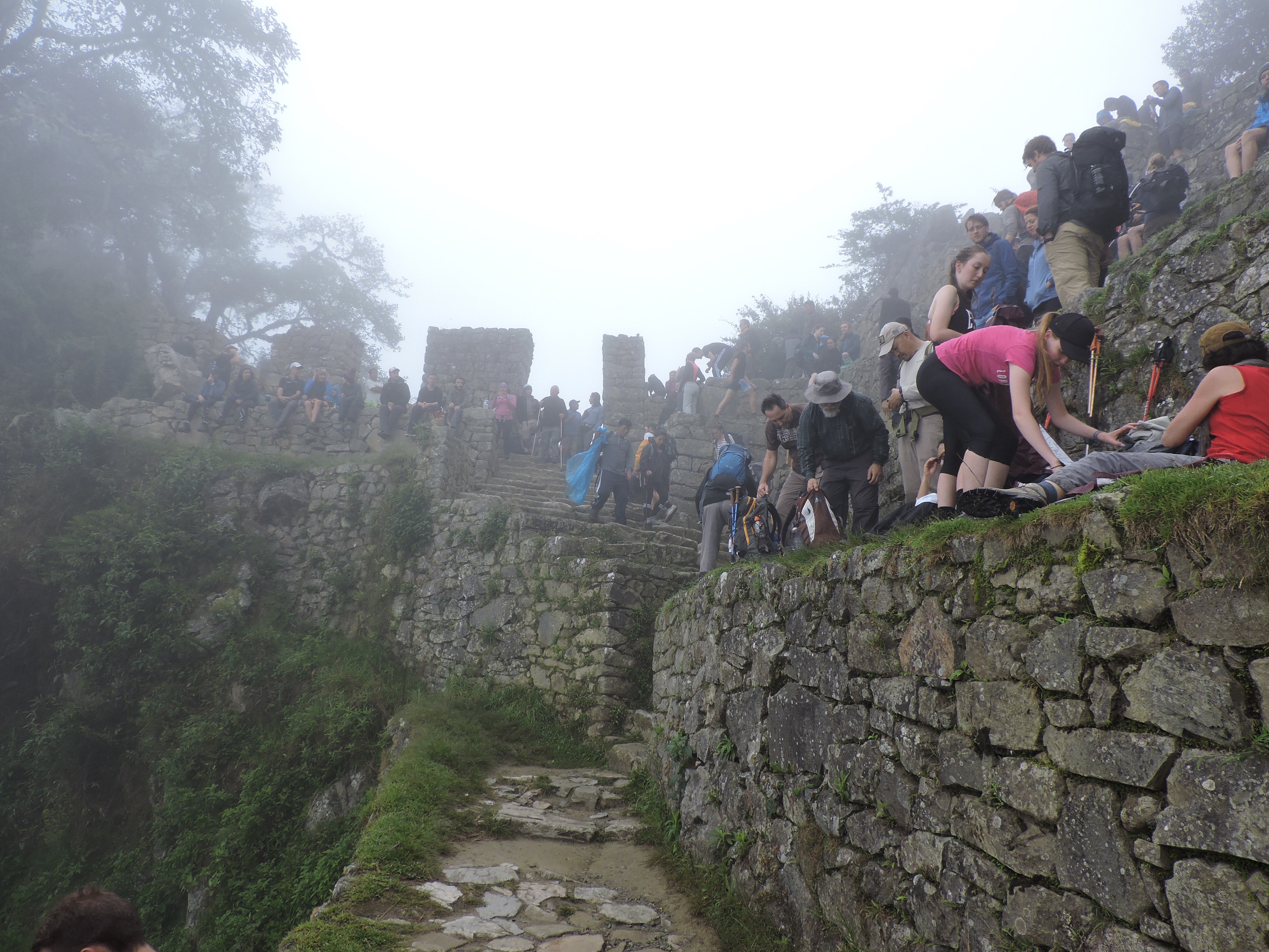
As you can probably guess, Sun Gate has something to do with the sun, and a gate. The sun part is because at certain times of the day, it looks like the sun is coming through the site's gates. The gate part, is because it looks like it was a massive control gate for people entering or leaving the sanctuary of Machu Picchu.
It is the very last stop of the Inca Trail before Machu Picchu, and if you're lucky, on a clear day, you can see an amazing view of all of Machu Picchu below. Of course when I was there it had clouds obstructing my view, not to mention a ton of other tour groups who were sitting and resting all along its walls.
15. Machu Picchu
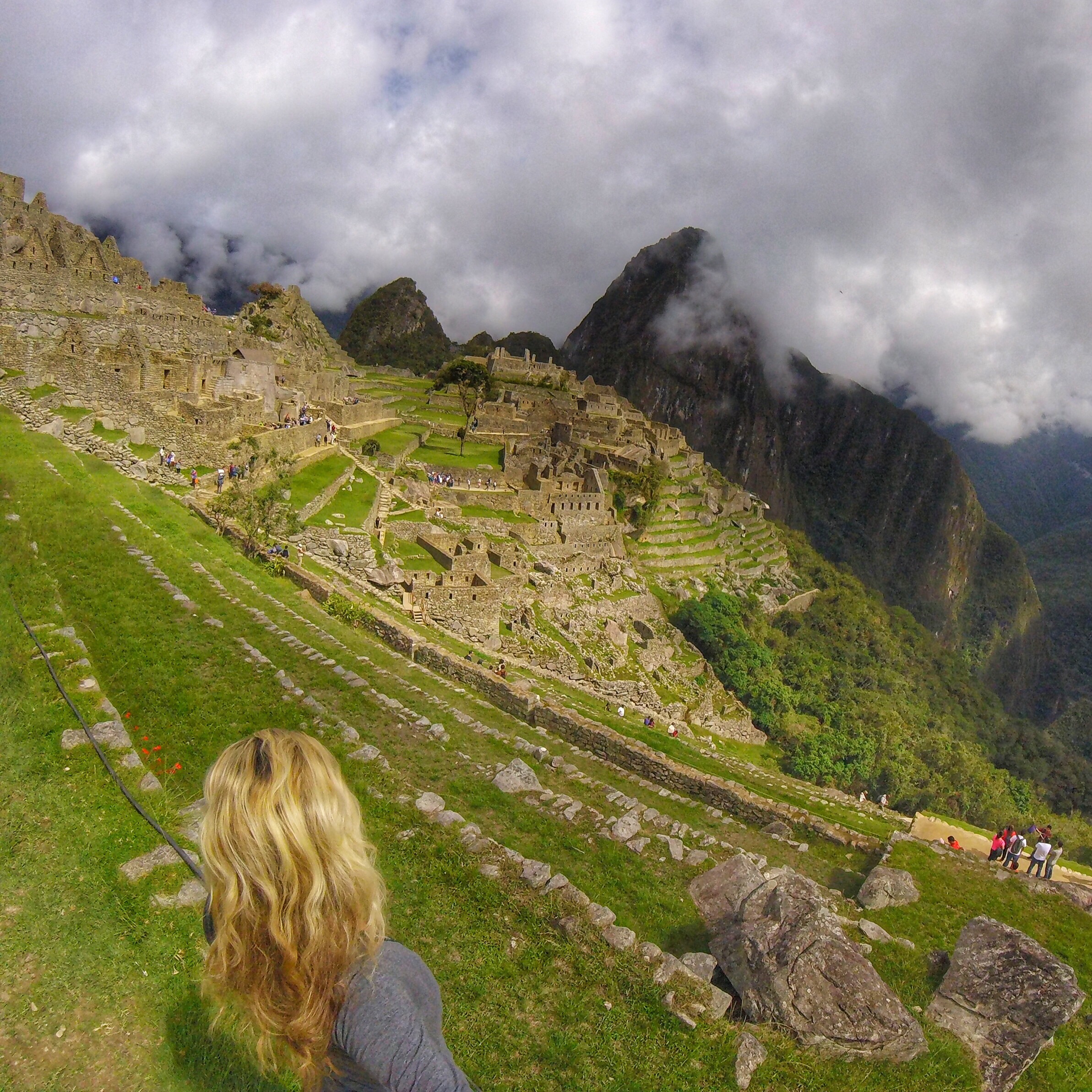
Technically you can see Machu Picchu without hiking the entire Inca Trail, but it is so much more glorious to march up to it after conquering four days of rough terrain and learning about the incredible history behind it.
Seeing Machu Picchu for the first time from afar is as stunning as any postcard or Google image you've ever seen. You can stare at it for hours, wondering how, what, and why it was built, and who constructed it, and lived there. What is most bazaar about it is that it's built in the middle of the mountains, where it was very well hidden until its discovery in 1911 by a Yale professor, thanks to the directions of a 10 year old Inca boy. Well, that, and the fact that these structures, terraces, temples, and water systems were expertly created and constructed by people in the 1300's.
But aside from the surreal scenery, what is perhaps the most mind-stumping about Machu Picchu, is that that's not even its real name. Nothing that has a name there, is its real, original name. Machu Picchu is the name of the mountain, but no one knows the real name of the actual city, just like no one knows the real purpose behind each of the structures in it.
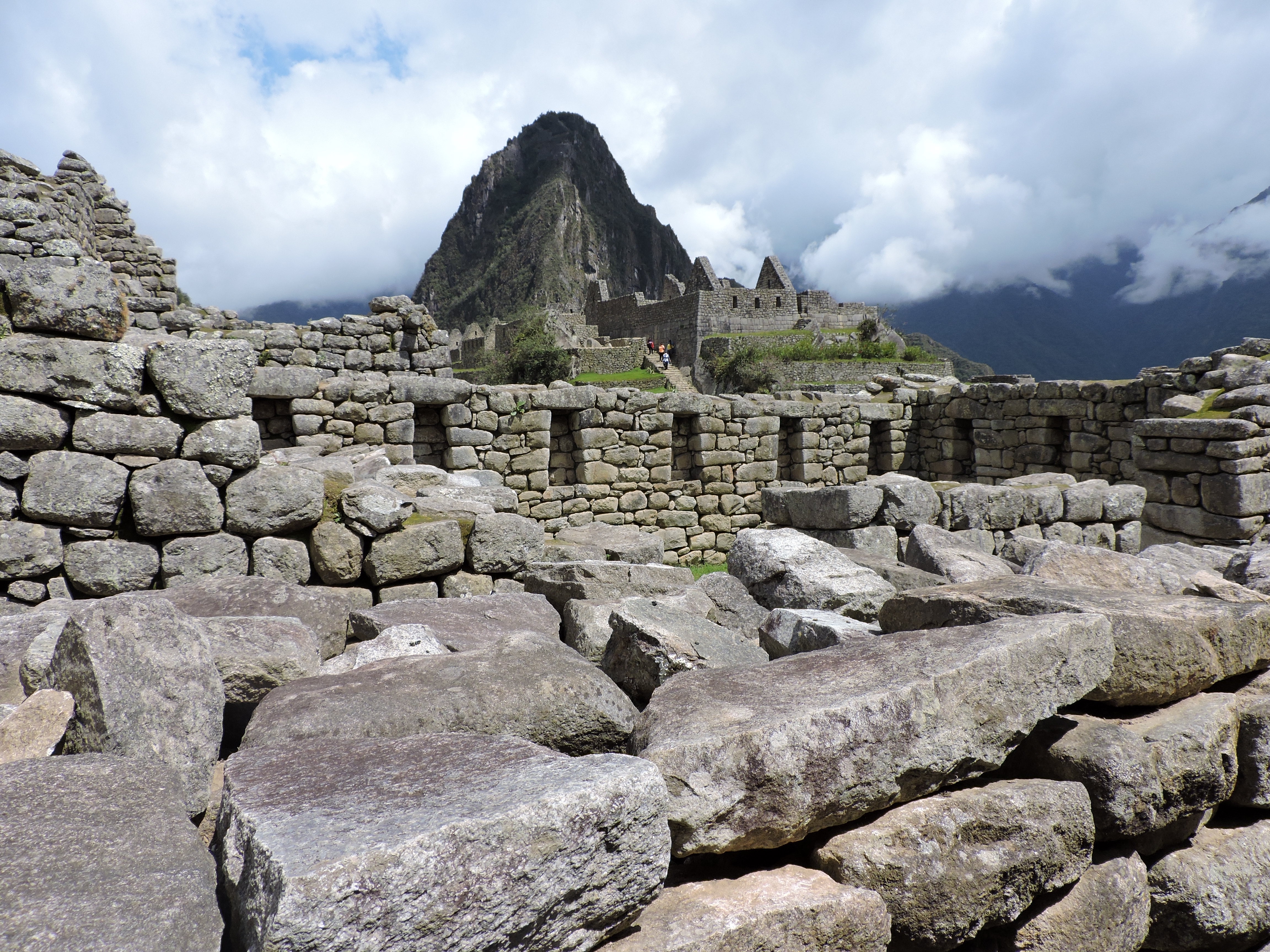
Everything is based on theories made by specialists, and names given by the people who first re-discovered it. All evidence, writings, and information about the Incas was destroyed in order for the Spaniards to take over (including the higher class people who held all of the knowledge), which makes the most mind-blowing site of all, the entire Inca Trail!
For more photos check out my Instagram, @mylifesatravelmovie, or my blog for more information about adventure travel!