
Meteorologists in St. Louis were baffled last week when radar images showed a strange butterfly-shaped cloud passing overhead on its way south.
The cloud was shifting its shape dramatically on what otherwise was a “completely clear day,” Laura Kanofsky, a National Weather Service (NWS) meteorologist, told the Washington Post. “So we were all kind of scratching our heads saying ‘What are we looking at here?’”
But the mystery has now been solved. What looked like a cloud on radar images was actually a huge butterfly-shaped swarm of actual butterflies.
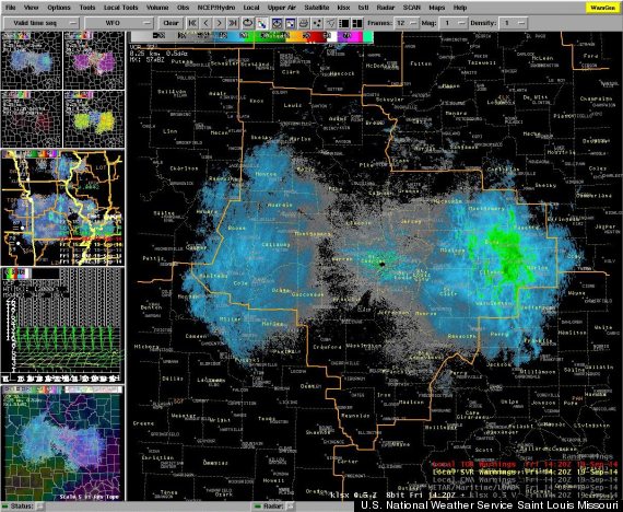
Radar reflectivity image of the butterfly swarm
“We think these targets are monarch butterflies,” the NWS in St. Louis wrote on Facebook on Sept. 19. “A monarch in flight would look oblate [flattened] to the radar, and flapping wings would account for the changing shape.”
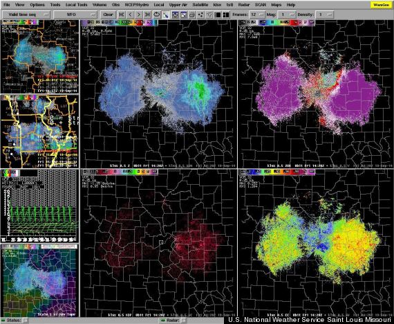
Radar showed the "cloud" to be not particularly uniform (bottom right image), NWS St. Louis told The Huffington Post, and low in liquid water (bottom left image).
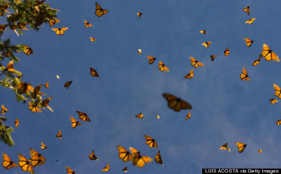
The monarch butterflies are believed to have been flying between 5,000 and 6,000 feet above the ground as they migrated south to their winter home in Mexico, LiveScience reported. Every year, millions of monarchs migrate from the U.S. and Canada to central Mexico's highlands.
In this 2008 photograph (below), monarchs are seen flying in Angangueo, Mexico.
Related
Before You Go
