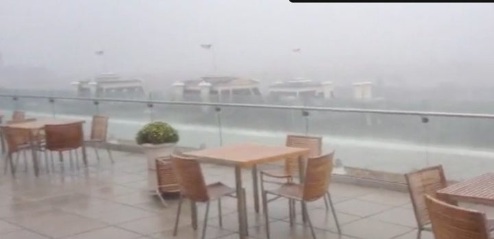
WASHINGTON -- A "strong surge of southern soupiness," as Capital Weather Gang describes it, pushed up from the Gulf of Mexico and collided with a strong cold front coming in from the Midwest and that combination produced some severe weather across the D.C. region Tuesday afternoon.
A tornado watch had been in effect for the entire region until 7 p.m., but sections of the advisory were dropped as the storm roared through the nation's capital.
Check the National Weather Service for the latest weather advisories.
A tornado warning was issued for the District of Columbia and southeastern Montgomery County and northern Prince George's County in Maryland around 3:15 p.m. According to the National Weather Service, at 3:16 p.m., a severe thunderstorm capable of producing a tornado was near Fort Totten and Takoma Park and was moving northeast at 45 m.p.h. into Maryland. But by 3:35 p.m., the tornado warning was canceled.
According to WRC-TV/NBC4:
As of 5 p.m., Pepco was reporting 13,947 power outages, BGE was reporting 1,351 (most in Anne Arundel County) and Dominion was reporting 4,825, down from 7,349 at about 4 p.m. Pepco recommends that its customers call 1-877-737-2662 or visit Pepco.com to report any outages.
This post will be updated with weather developments
Take a walk down memory lane from the late June derecho storm ...
