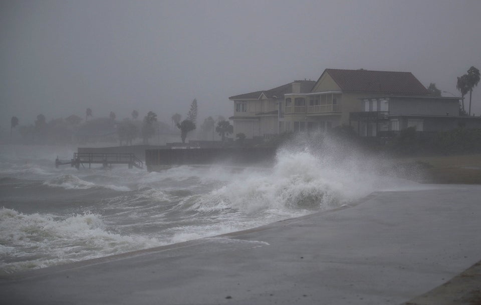
National Weather Service images of Hurricane Harvey, which grew into a dangerous Category 4 storm Friday night, show the chilling sight of a swirling blanket of impending disaster off the Gulf Coast.
Harvey, with sustained winds of 130 miles per hour, is expected to be the first Category 4 storm to make landfall in the United States since Hurricane Charley hit Florida’s Punta Gorda and Port Charlotte in 2004. Landfall was expected late Friday.
The National Hurricane Center predicted “life-threatening inundation.” Hurricane-force winds were expected to extend up to 35 miles from Harvey’s center, and tropical-storm-force winds were predicted to extend as far 140 miles, putting cities including Houston, Galveston and Corpus Christi at high risk. Rainfall on the storm’s projected path on the Texas Gulf Coast could total 15 to 30 inches.
The National Weather Service warned Category 4 storms can result in “catastrophic damage” to even well-built frame homes, while dwellings like mobile homes will almost certainly be destroyed.
President Donald Trump tweeted several warnings Friday for those affected to follow safety advice, and he assured those in the hurricane’s path that federal agencies would be ready for relief efforts.

