The official government 2012 Atlantic Basin hurricane season forecast has not yet been issued; however, three private entities -- the Weather Channel/WSI, Colorado State University, and AccuWeather -- have released their seasonal forecasts, and the consensus is for an average- to below-average number of tropical storms and hurricanes.
The 1961-2009 average for Atlantic Basin, which includes the Atlantic Ocean, Caribbean and Gulf of Mexico, is 11.3 named storms (tropical storms and hurricanes), including 6.3 hurricanes and 2.3 major hurricanes (Category 3 or higher), according to NOAA.
WSI (Weather Services International), which is part of The Weather Channel Companies, expects 11 named storms in 2012, including six hurricanes and two major hurricanes. Colorado State University predicts 10 named storms, including four hurricanes and two major hurricanes. AccuWeather expects similar numbers, with 12 named storms, including five hurricanes and two major hurricanes.
The last two years were very active in terms of the number of storms, with back-to-back seasons (2010 and 2011) of 19 named storms. The 2010 season included 12 hurricanes and five major hurricanes.
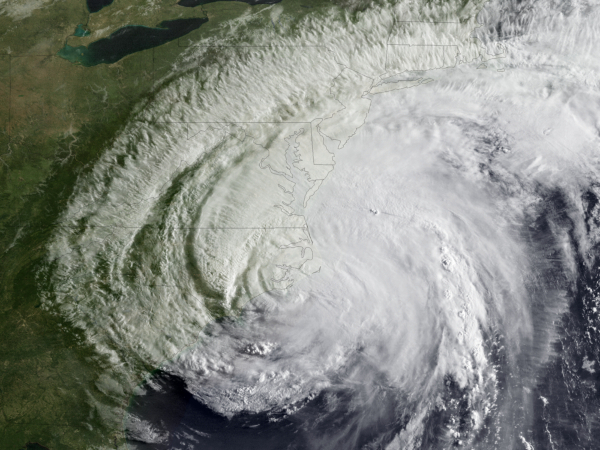
(NOAA image of Hurricane Irene from August 27, 2011)
The numbers are expected to be lower this year because of cooler sea-surface temperatures in the Atlantic and the possible development of an El Nino by late-summer or early fall, which tends to reduce the number of tropical cyclones in the Atlantic basin. Warmer-than-average Atlantic basin sea-surface temperatures and the presence of a La Nina enhanced the number of named storms during each of the past two seasons.
Of course, the number of named storms is much less important than the effect that the storms have on land areas, and the United States has been relatively fortunate during the past couple of years. The large and powerful Hurricane Irene alone caused billions of dollars in damage from the Carolina coast to the Northeast last year, but the overall impact of the back-to-back active seasons was less than might have been expected in the United States.
This year, AccuWeather warns that storms might be more likely to form close to the United States than the past couple of years and prevailing steering winds could direct those storms toward land. The Weather Channel does not attempt to predict details related to potential landfall of storms in seasonal forecasts. The Colorado State forecast includes the statistical probability of land-falling storms in various parts of the United States, and all are slightly below the long-term average.
One of the large-scale factors that has contributed to a greater intensity of hurricane seasons in recent years is a warm phase of the Atlantic multidecadal oscillation. The multidecadal oscillation is a scientific term that simply means that the sea-surface temperatures of the Atlantic go through warm and cool cycles that last for decades at a time. The current warm cycle began in 1995.
With warm water being the fuel for hurricanes, the warm phase of the oscillation produces more -- and more intense -- hurricanes. Even during the warm cycle, however, seasonal variations can reduce the frequency of hurricanes.