Norman Wells, 90 miles south of the Arctic Circle and half way down, or half way up the Mackenzie River - it depends whether you're standing on your head or not - has to be the ugliest town at first glance in quite a while with its large oil tank farm. I'll give it another shot, though, on a walk-about later.
To get here from Inuvik I took the milk run in a Grand Caravan - a little nine-seater Cessna 208b single propeller plane flown by North-Wright Airways. I thought I'd see more of Canada's Northwest Territories from the low-flying craft than from Canada North's Boeing 737.
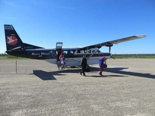
Our Grand Caravan
All aboard
More to the point, Canada North wants US$576.25 for a 42-minute hop while North-Wright charges $332.83 for 2 ½ hours.
But, oh Gawd, there's only one pilot. What happens if he has a heart attack? Pushing my fears to the backburner I perform for myself my usual Saint-Exupéry shtick, fearless aviation pioneer of Vol de Nuit (Night Flight), piloting solo through the pitch black thunderstorms of Patagonia.
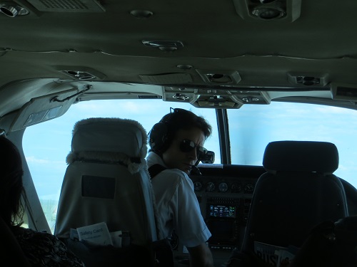
Waddya mean 'what happens if I have a heart attack'?
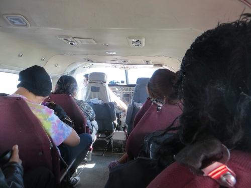
OK, so I'm not actually alone, you quibble; there are eight others and two infants on board. And there's no thunderstorm - so what? Can't I have a little fun? And it's not exactly night, it's 10.30 a.m. Actually it wouldn't matter a damn if it was midnight in late June, the sun would still be out. Anyway I hated that book in French class back at school.
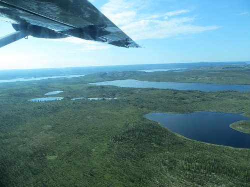
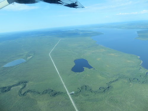
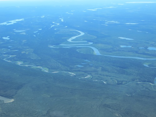
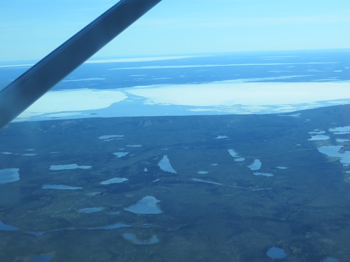
Zillions of ponds, lakes, rivers, streams and rivulets snaking their impossibly sinuous courses towards the muddy breadth of the Mackenzie River unfold below us in kaleidoscopic succession. Low spruce, other trees, mosses and lichens dapple the ground with a whole spectrum of greens and yellows. A mosaic of dead straight, narrow lines through the bush show where companies have been exploring for gas and oil.
On the flight from Inuvik

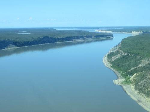
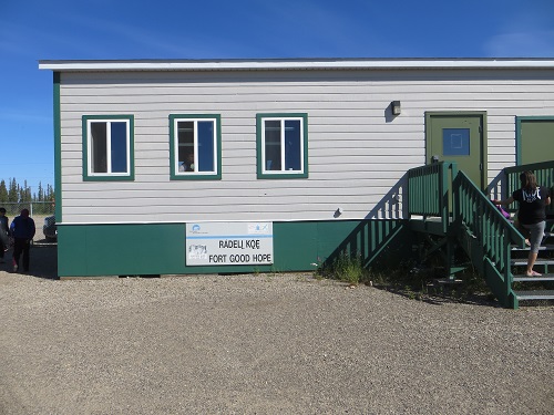
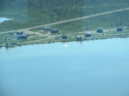
Limestone cliffs close in, forcing the Mackenzie into rapids and we land at Fort Good Hope, a fur trading post set up in 1805, now a community of some 550 people, mostly Dené First Nation to whom it is known as Radeli Koe, Where the Rapids Are.
Approaching Fort Good Hope
Everybody disembarks except for one lady.
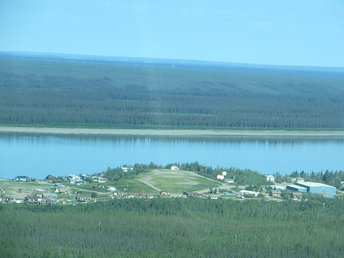
Fort Good Hope airstrip

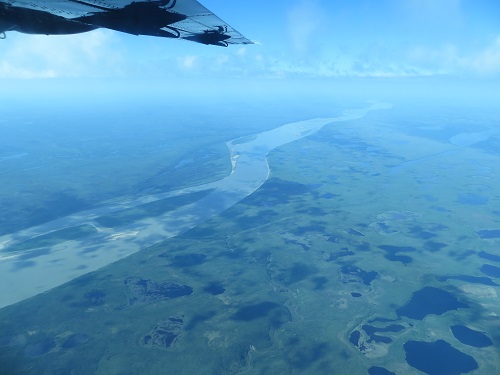
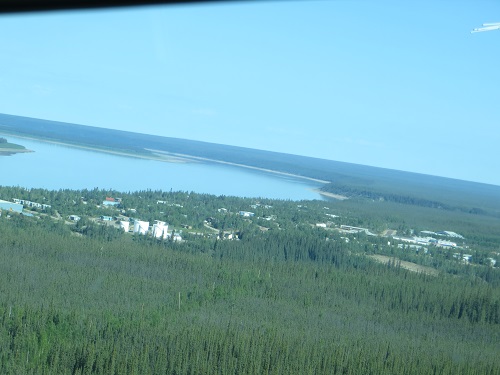
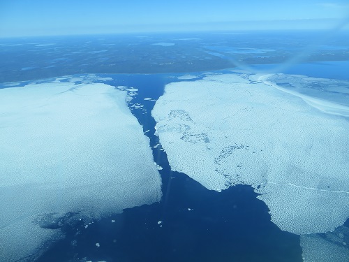
We fly east for half an hour over another enormous conglomeration of ponds, rivers and lakes, the larger ones still sporting ice floes, to Colville Lake, a tiny community of some 140, nearly all indigenous Dené.
The flight to Colville Lake
Two who aren't First Nation board - a teacher and his wife who retired here from Alberta and are going back for a holiday with their kids in Moose Jaw, Saskatchewan. Gawd, they must sure love the great outdoors and the great wilderness.
He says he doesn't get bored and I think he's saying he's also the mayor although the unpressurised plane has truly buggered up my hearing.
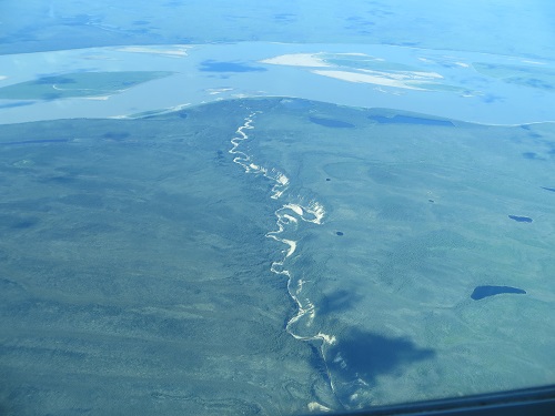
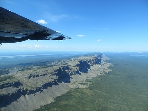
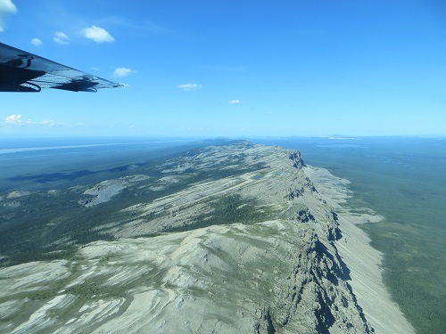
The topography changes slightly; long escarpments score the land, precipitous and barren on their east side, gentler and vegetated on the west.
And on to Norman Wells
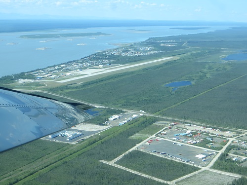
And that's how I arrive in Norman Wells and ask myself what in shit's... Oh yes, we've been there already.
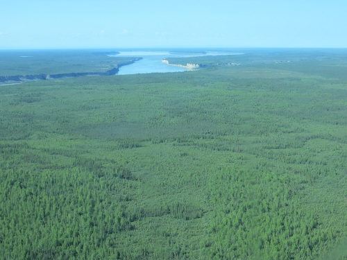
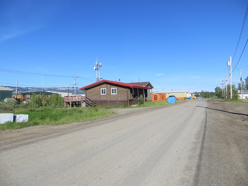
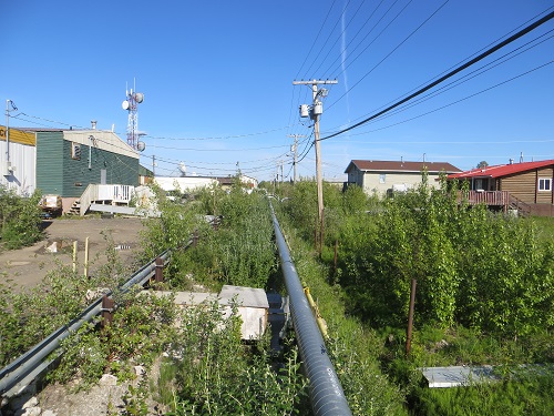
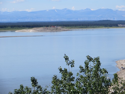
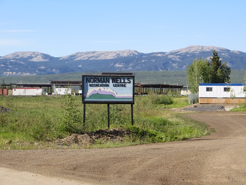
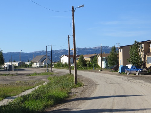
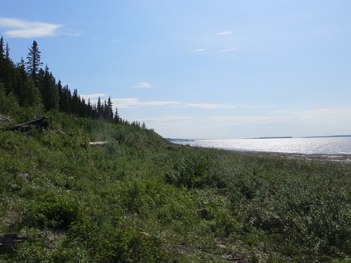
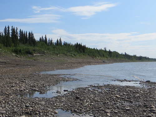
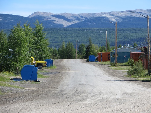
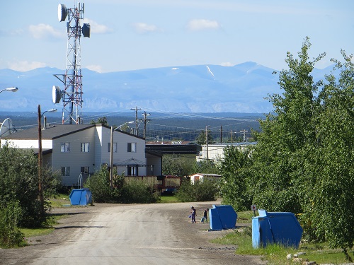
So I have my walk-about and my first impression has to be corrected. The small community of less than 1,000 souls, many of them Dené, certainly has its charms - that of a rough, somewhat unkempt frontier hamlet with coloured wooden buildings on a bend in the vast Mackenzie River.
Norman Wells


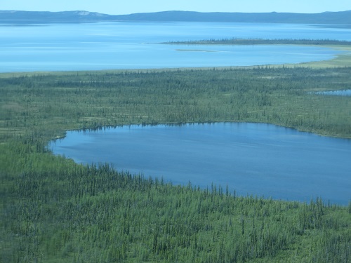
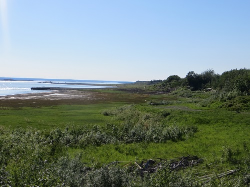
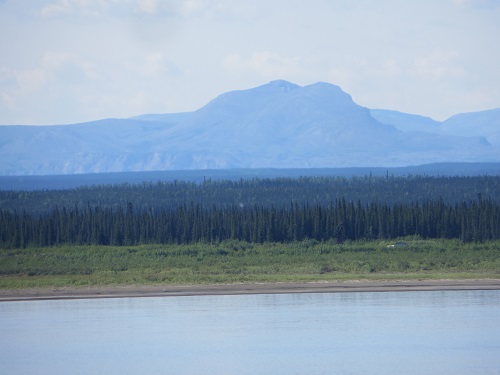
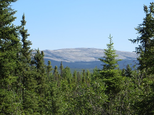
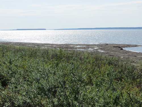
Trees and green fields run up to a ridge of steep barren peaks to the north, while the Mackenzie Mountains rise hazy blue in the far distance across the river, its rippling waters sparkling silver-blue in the bright sun.
It gets its name from Fort Norman, a 19th century Hudson Bay trading post nearby, though which of several Fort Normans it could refer to is unclear.
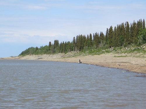
Norman Wells' beautiful surroundings
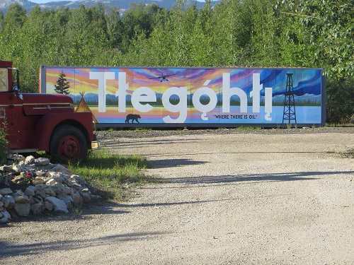
The Dené long called the area Le Gohlini, Where There Is Oil, because of the oil seepage, which Alexander Mackenzie noticed on his trip down the river in 1789.
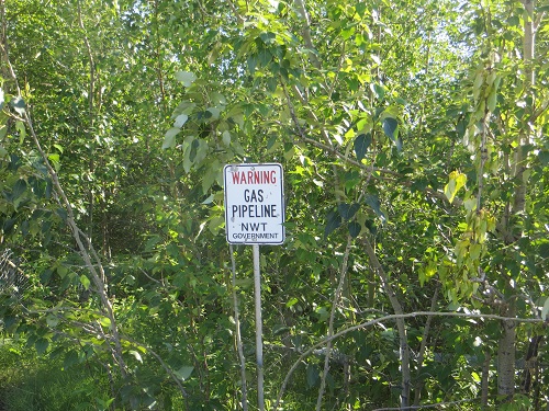
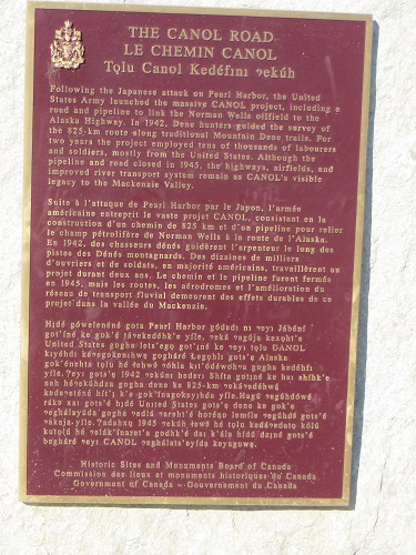
It was this oil that piqued the saliva glands of Imperial Oil in 1918, and saw what is claimed to have been the greatest construction effort since the Panama Canal when in the winter of 1943-44 the United States, worried about possible Japanese attacks on west coast petroleum facilities, undertook a rush programme in the harshest -40 degree conditions to complete a pipeline to Whitehorse.
Museum tells saga of the pipeline
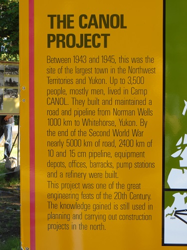
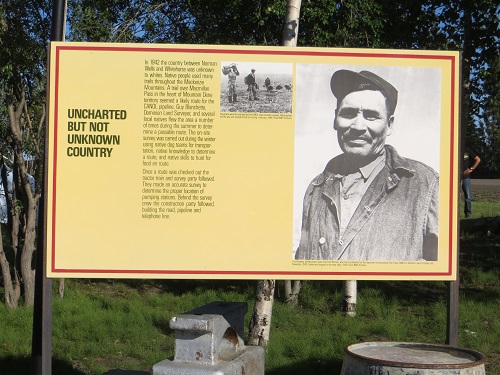
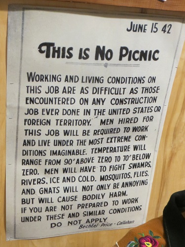
In the understatement of the century construction workers were recruited under the category 'This is no picnic.' Naturally, by the time the pipeline was completed, the Japanese threat had receded, and cheaper oil supply routes saw the pipeline dismantled by 1947. But the ugly tank farm remains.
Today, the 230-mile stretch of the rough Canol Track (for Canadian American Norman Oil Line) through the Mackenzie Mountains used in the construction phase is known as the Canol Heritage Trail, billed as one of the most spectacular and difficult hikes in North America - 'suitable for only experienced and well-equipped adventurers.'
It takes 14 to 22 days, and though it has been done without resupplies, most people arrange for food airdrops along the way. It is also favourite grizzly and black bear country. So it will come as no surprise that this is a way Yours Truly will not tarry along.
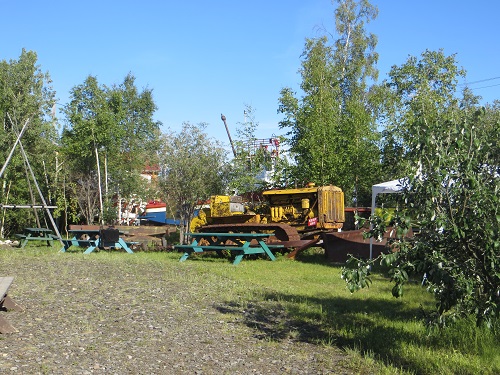
A heritage centre in town offers old WWII films on the pipeline construction, with a small sternwheeler boat and several other pieces of equipment on the lawns outside.
Riverside walks
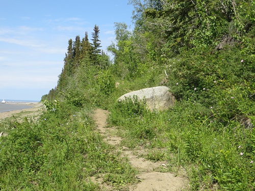
You can also walk along the riverside beneath a spruce-crowned bluff, and there are a couple of trails. There was a bear in town over the weekend, though.
Bear-proof dumpsters
Still there's a mental health and addication (sic) 24-hour hotline - so I'm all set for my 48-hour visit.
[Upcoming blog on Thursday: At last the finale of this interminable spring/summer saga through the Northland - destination Yellowknife]

______________
By the same author: Bussing The Amazon: On The Road With The Accidental Journalist, available with free excerpts on Kindle and in print version on Amazon.